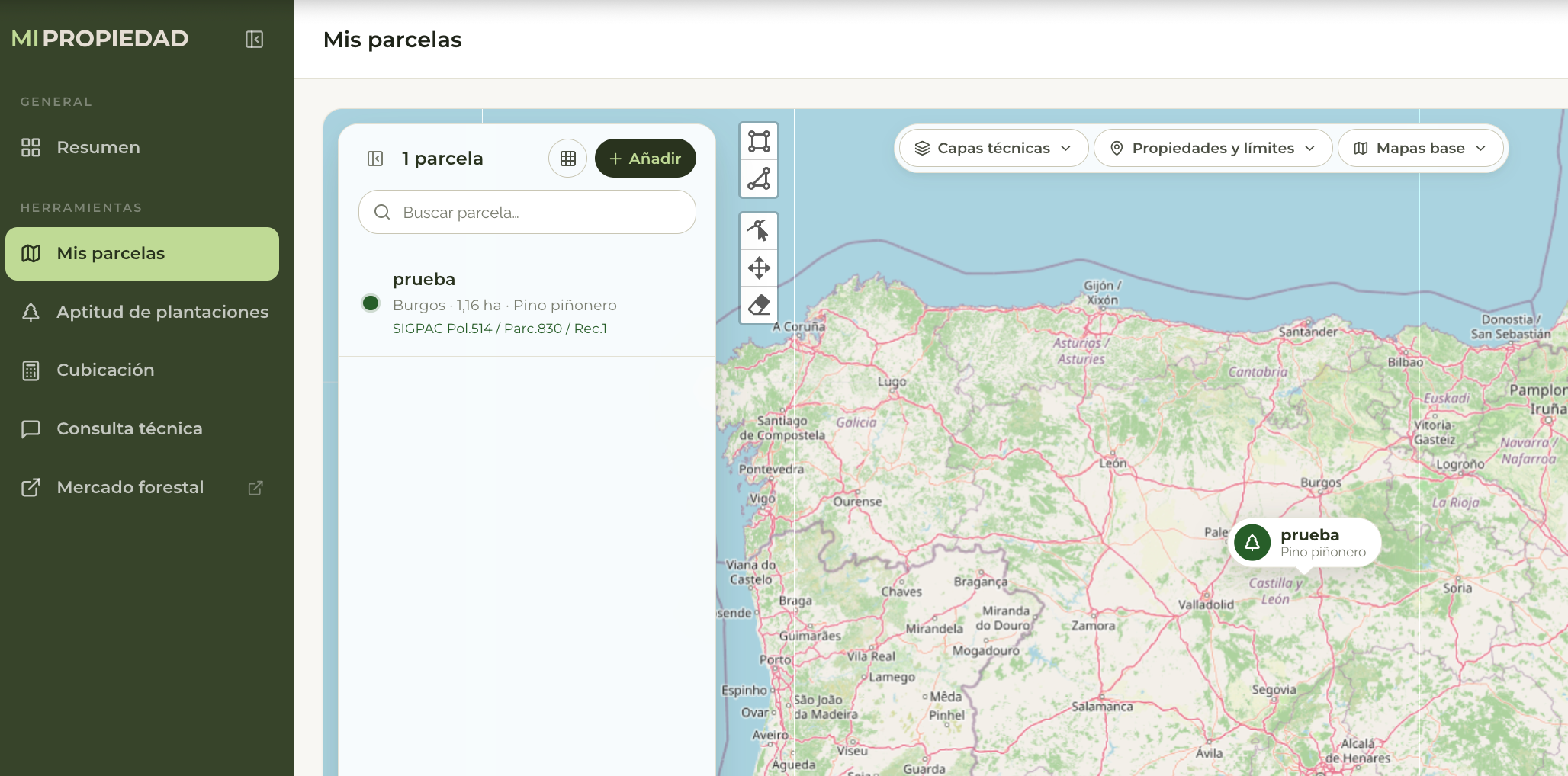
July 17, 2026 – Cesefor and the Regional Government of Castile and León have collaborated on a new web application, as part of RetechFOR, that will bring together in one place the administrative procedures, maps, and technical recommendations typically used by private forest owners and managers. The platform will streamline many of the procedures that, until now, had to be carried out through different agencies, platforms, and document formats. This fragmentation—and, at times, the outright lack of digital services—is precisely the problem this new development aims to solve.
A single point of entry
The solution involves integrating a set of web services that are very useful in practice: it allows those who manage private forests to view and update all the information about their parcels—both quantitative and qualitative—and make decisions based on the data provided by the platform itself.
Among the planned features, the app will be able to automatically identify the parcels that a person owns, manages, or represents; determine the forest resources they contain; and provide silvicultural recommendations tailored to each specific case. The application will combine predictive models—including those from the Sisrep system—to suggest the species with the greatest survival potential and to classify silvicultural plans according to different climate change scenarios, always based on the official plans already published by the Regional Government of Castile and León.
In addition to the technical aspects, the tool will digitize procedures that currently require paper and in-person visits. For example, once the most appropriate silvicultural plan has been selected, the system will be able to directly generate the necessary documentation for submission via the electronic portal. It is also intended to be used to process—including its georeferenced information—documentation for grants related to damage prevention, silviculture, and silvopastoral programs.
Integrated with other systems and tools
The most innovative aspect of this platform is not a single feature, but rather its mission to connect components that currently operate separately. It is designed to interface with other developments within the RetechFOR project itself—such as the Continuous Forest Inventory and the Fitoclim tool—as well as with external mapping sources like Sigpac, so that landowners do not have to access each system individually.
Once it is publicly available, the platform should facilitate and streamline private forest management by improving access to reliable information on forest stands, mapping, and silvicultural recommendations, and by reducing manual paperwork between landowners, managers, and government agencies. This is expected to lead to more agile, better-informed, and more sustainable forest management, in addition to alleviating the administrative burden for both the private sector and the Regional Government of Castile and León itself.