
Forest Navigator
Navigation through the forest road network and automatic communication with SINFO for firefighting resources
Cesefor
Department of the Environment, Housing, and Land Use Planning (Regional Government of Castile and León)
Strengthening communication during wildfires and routine planning of field operations.
What is it and what is it used for?
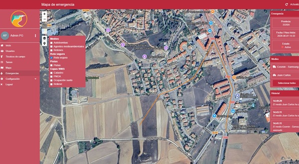
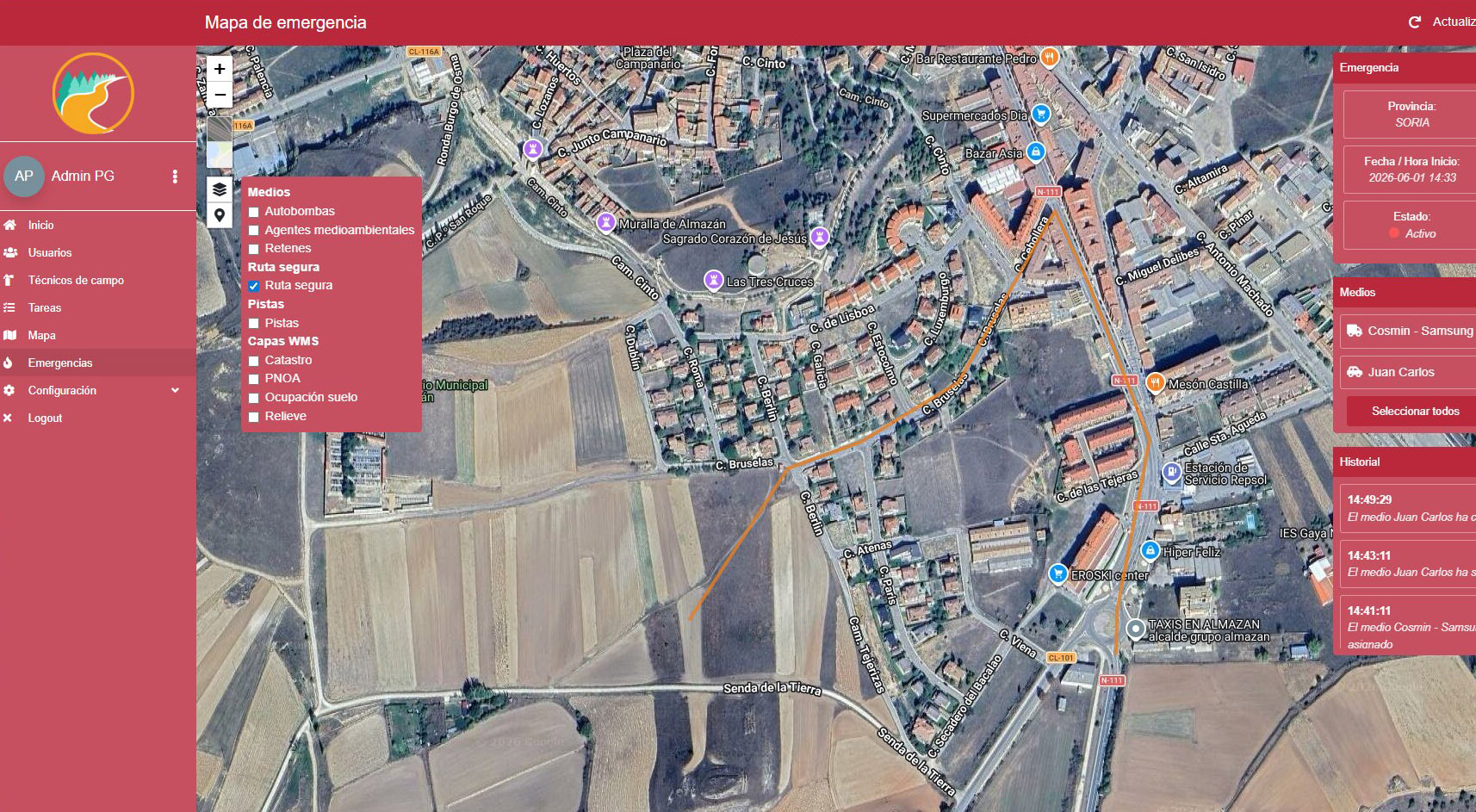
The Forest Navigator is a system consisting of an Android mobile app and a web-based management tool that allows users to navigate the network of forest trails in Castile and León, receive assignments, and submit data collected in the field. At RetechFOR, it has been integrated with SINFO, the regional government’s emergency and fire management platform: when an emergency is declared or resources are assigned to it, the devices involved receive an automatic alert with the task and the fire’s coordinates. Information also flows in the opposite direction, as SINFO can access the data collected by the devices, and emergency responders can share safe routes within the same emergency.
The problem it solves
This browser is designed to address a number of identified needs. Previously, there was a tool for navigation and data collection in the field regarding the forest road network, but it was not connected to the firefighting equipment. SINFO could not make use of the information collected by mobile devices, and communication with emergency responders during an emergency depended on external alerts. Now, users register through SINFO’s resource catalog; alerts are automatically sent to the appropriate device, and the data collected in the field is made available to the fire department. Previously, there was also no way to share—via the app—with other emergency responders the access route that one of them had already deemed safe.
"WhenSINFO logs an emergency, each responding unit receives a notification on its mobile device with the destination already entered so they can get there."
What makes it innovative?
Automation and Immediacy
Alerts are generated automatically based on SINFO events, following territorial rules (forest district or province) and emergency assignment rules, without any operator intervention.
Bidirectionality
Communication is two-way: SINFO can request the information collected in the field by the devices in a standard geographic format.
Coordination
The safety route recorded by a response unit is shared as a temporary layer with all other units involved in the same emergency.
Expected impact
Strengthen communication between the CPM and firefighting resources automatically when response time is critical. Turn the devices deployed by Castilla y León into a continuous source of information for SINFO regarding the road network and infrastructure. Outside of the fire season, the same system can be used to assign tasks—including final destinations—for other purposes.


