
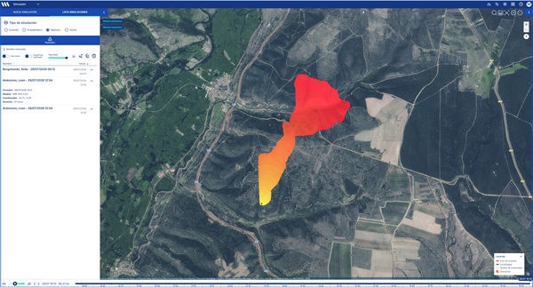
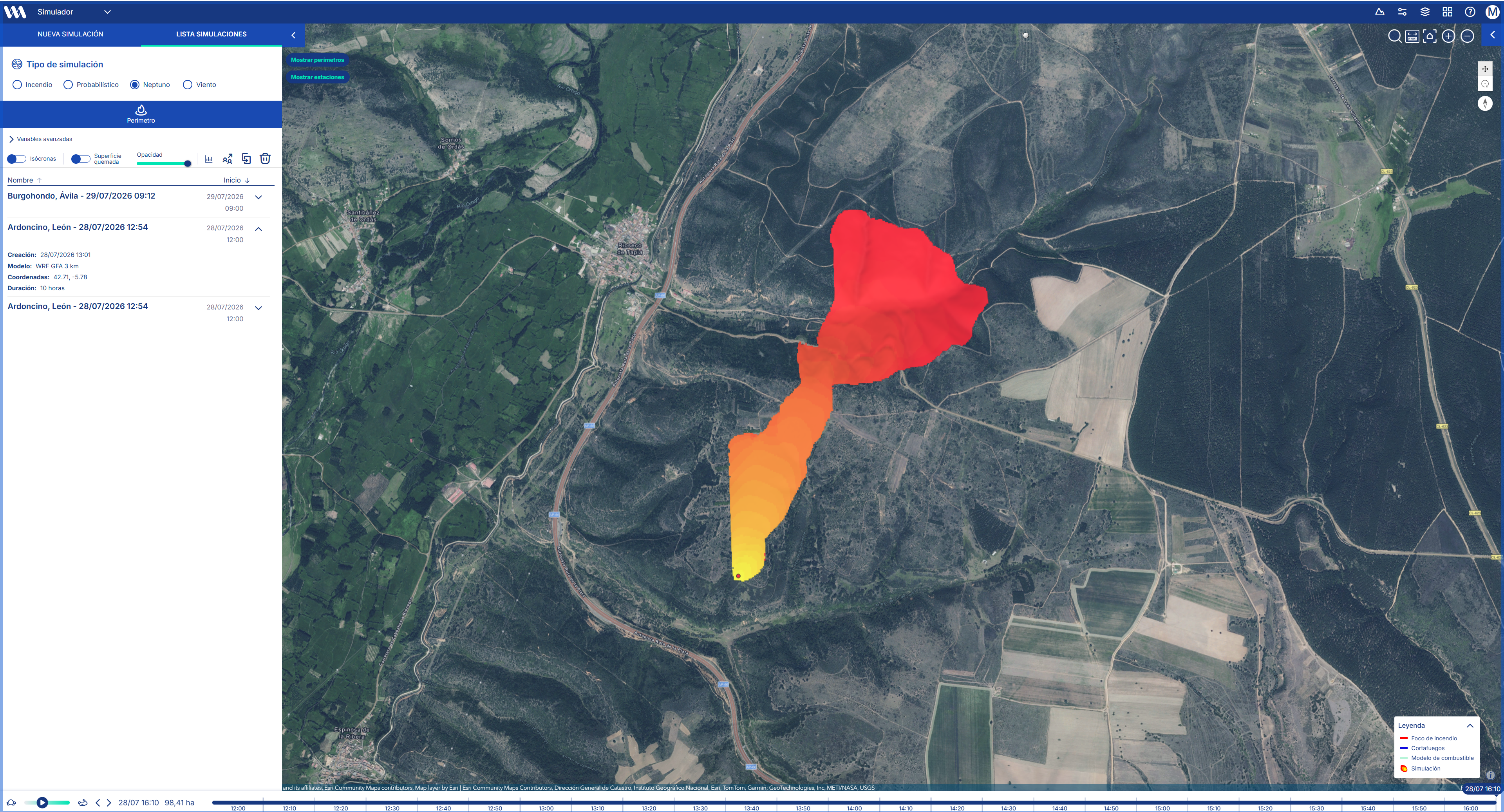
What is it and what is it used for?
Using the PhyFire model, developed by the University of Salamanca, users can select ignition points within a geographic area of up to 20 km² and obtain a map showing the expected progression of the fire.
The problem it solves
Traditional simulation models have limitations when it comes to predicting complex or erratic fire behavior. This creates uncertainty that can compromise the safety of firefighting crews and the effectiveness of operations, as these models do not account for situations such as secondary fires caused by embers.
"Thesimulator uses a more scientifically accurate approach that provides a better understanding of the erratic behavior of fires."
What makes it innovative?
PhyFire Model
Underlying physical processes such as convection and radiation as the primary mechanisms of heat transfer; the influence of slope and wind on flame orientation; and the effect of fuel moisture—including the ability to reproduce the generation of secondary flames by embers.
HDWind Model
Adjusts wind data to local terrain characteristics (topography, roughness) to produce a more realistic wind field.
Expected impact
It improves strategic decision-making by providing a more accurate understanding of fire behavior, thereby enhancing the safety of firefighting crews and the effectiveness of operations.


