
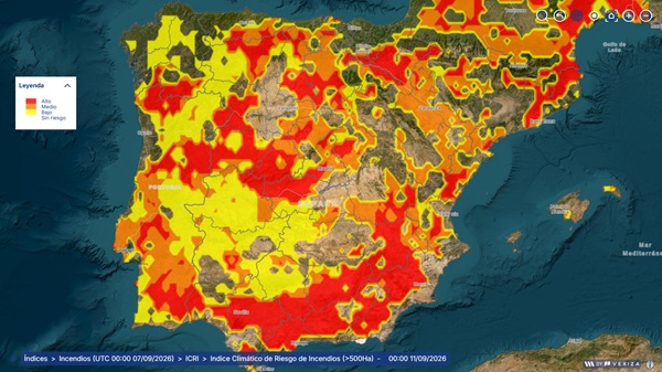
What is it and what is it used for?
Statistical analysis and modeling of up to 15 climatological indicators derived from temperature, humidity, precipitation, and wind anomalies, to generate a daily map characterizing the risk that a fire, once ignited, could develop into a major forest fire (GIF), defined as one that exceeds 500 hectares.
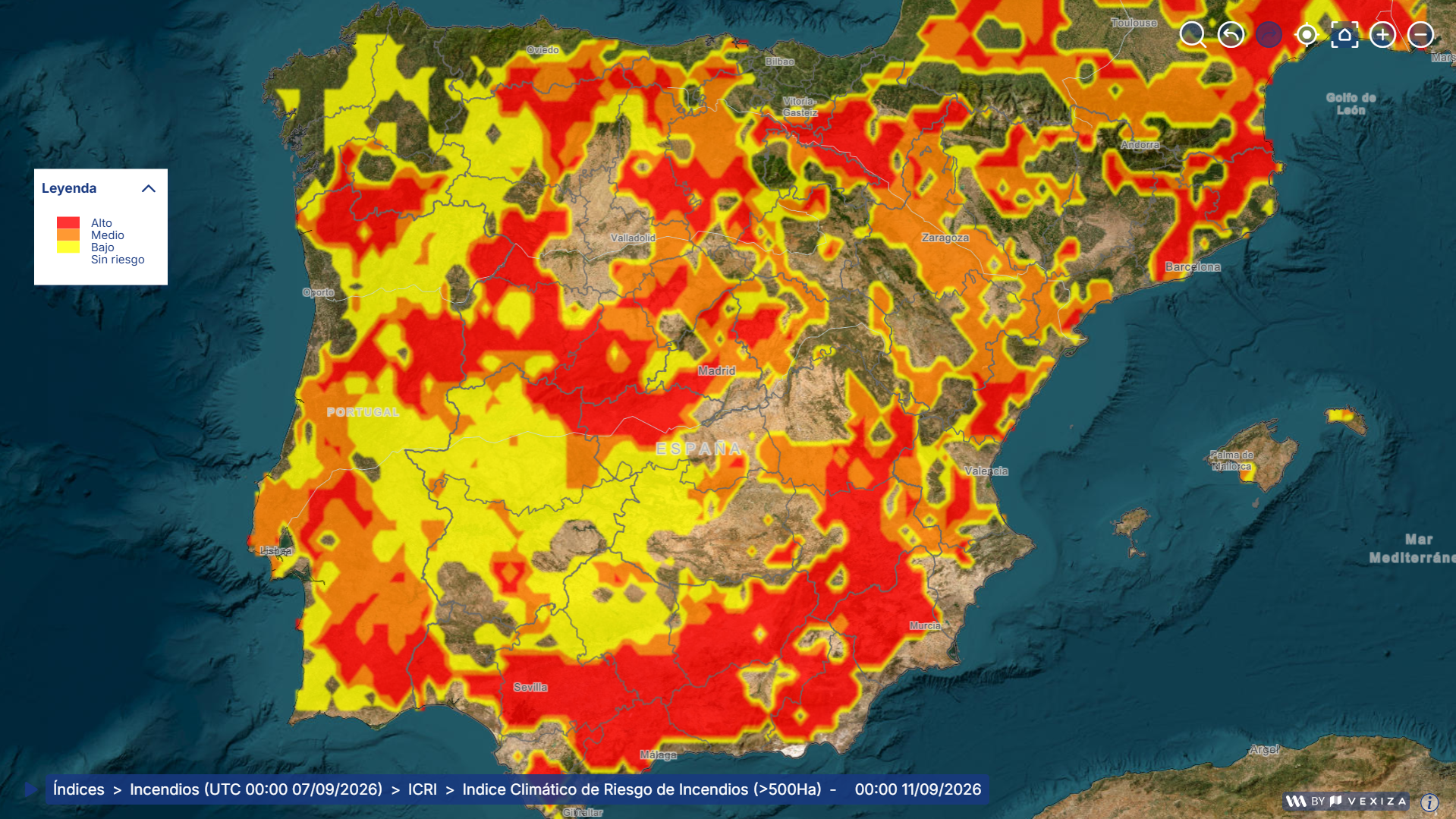
The problem it solves
The application of traditional predictive models to large wildfires is often inaccurate, as they cannot adequately distinguish the conditions that lead to these extreme events. This is due to an imbalance in historical data: the vast majority of fires are small (nearly 90% do not exceed 5 hectares), while large wildfires—although they cause the most damage—are statistically very rare.
"Predictingwhich fires—no matter how small they may be at the outset—are most likely to develop into major wildfires allows us to tailor our operational response to the expected magnitude of the event."
What makes it innovative?
Greater accuracy in distinguishing between small and large fires
Using the fire history of Castile and León and time series of climate anomalies, a model is trained that is specifically designed to overcome the statistical imbalance between small fires and large wildfires, distinguishing with greater precision the conditions that lead to these extreme events.
Expected impact
Adjust the operational response to the actual risk posed by each fire, avoiding both an underestimation of a potential fire with serious consequences and an overestimation that would lead to the unnecessary mobilization of resources.


