May 15, 2026 – ITCL Technology Center, in collaboration with the Regional Government of Castile and León, has developed an innovative prototype based on artificial intelligence and computer vision to improve the traceability of raw materials in the forestry and timber sector. The solution is part of the initiatives launched under the RetechFOR project and aims to provide more precise, automated, and reliable monitoring of timber transport from the forest to the industrial plant.
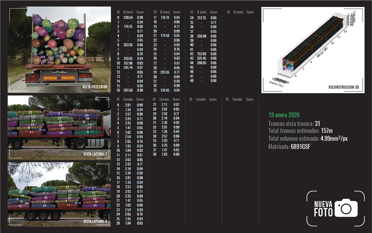
The project, coordinated by Julen Rostan, head of ITCL’s Artificial Intelligence Perception R&D unit, enables the analysis of side and rear views of logging trucks to automatically detect, count, and measure logs. In addition, the system estimates the diameters, volumes, and grades of the transported timber, while using OCR technology to recognize license plates and link each load to its corresponding vehicle.
The solution also integrates images from the NEMUS system, developed by Cesefor, and open-source satellite data, enabling the verification of information regarding the origin of the harvested timber against the shipment arriving at the mill. Thanks to this combination of technologies, the system is able to verify the integrity of the transported lots and provide much more objective and accurate traceability.
Currently, one of the main challenges facing the forestry sector is the lack of automated tools capable of ensuring traceability during the transport of timber. Manual methods or those based solely on images often have limitations due to lighting conditions, the orientation of the logs, or the inability to accurately measure volumes and diameters. This situation can lead to logistical errors, financial losses, and uncertainty in commercial and inventory operations.
HIGH LEVELS OF ACCURACY
With this prototype, ITCL aims to achieve accuracy levels exceeding 85% in the automatic detection and measurement of logs, providing a useful tool for forestry technicians and government agencies, as well as for transportation companies, sawmills, and the timber industry.
Among the project’s most innovative features is the combination of multi-view computer vision, artificial intelligence, satellite analysis, and automatic license plate recognition into a single system capable of tracking the origin, transport, and destination of timber. The development utilizes technologies such as Python, PyTorch, OpenCV, GPU/edge computing, and advanced image segmentation and analysis models.
FEWER LOGISTICAL ERRORS AND GREATER SUSTAINABILITY
The expected impact is significant from an economic, operational, and environmental standpoint. The tool will improve the accuracy of inventory and procurement processes, reduce logistical errors, and strengthen trust among forestry operations, transporters, and the processing industry. In addition, the use of open-source satellite imagery will facilitate environmental monitoring of forest harvesting operations without the need for additional investments in data acquisition.
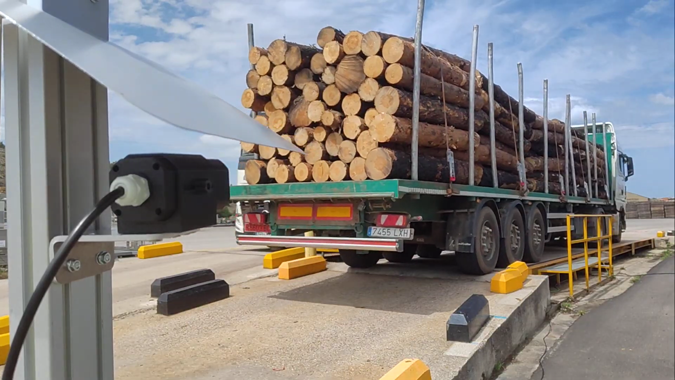
A practical example of how the system works involves capturing images of a loaded truck both at the point of origin and at the plant entrance. The system automatically identifies the vehicle’s license plate, counts the logs, estimates their diameters and volume, and compares all this information with the source data recorded in NEMUS and with satellite imagery to verify that the shipment matches the one declared.