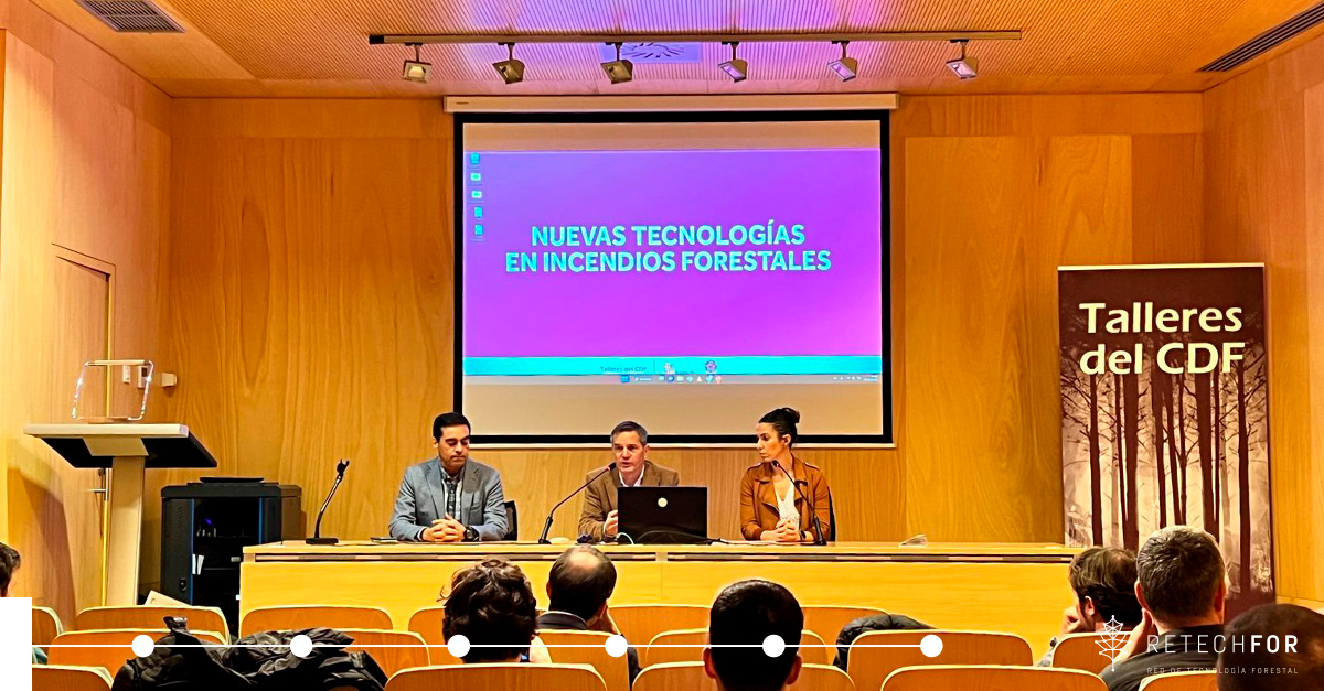
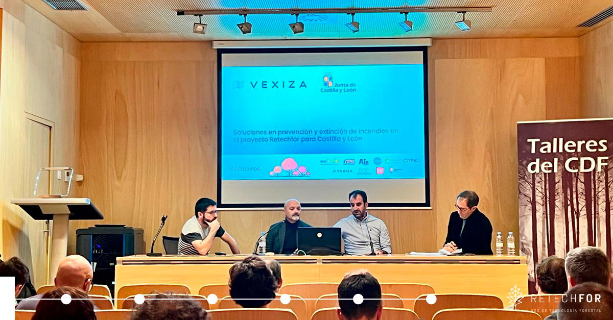
On November 27, 2025, the Center for Fire Defense (CDF) in León organized a workshop on "New Technologies in Forest Fires," with the aim of presenting and exploring emerging technologies and innovative solutions for the prevention and control of forest fires, promoting the exchange of knowledge among technical personnel from public administrations, specialized companies, and research entities.
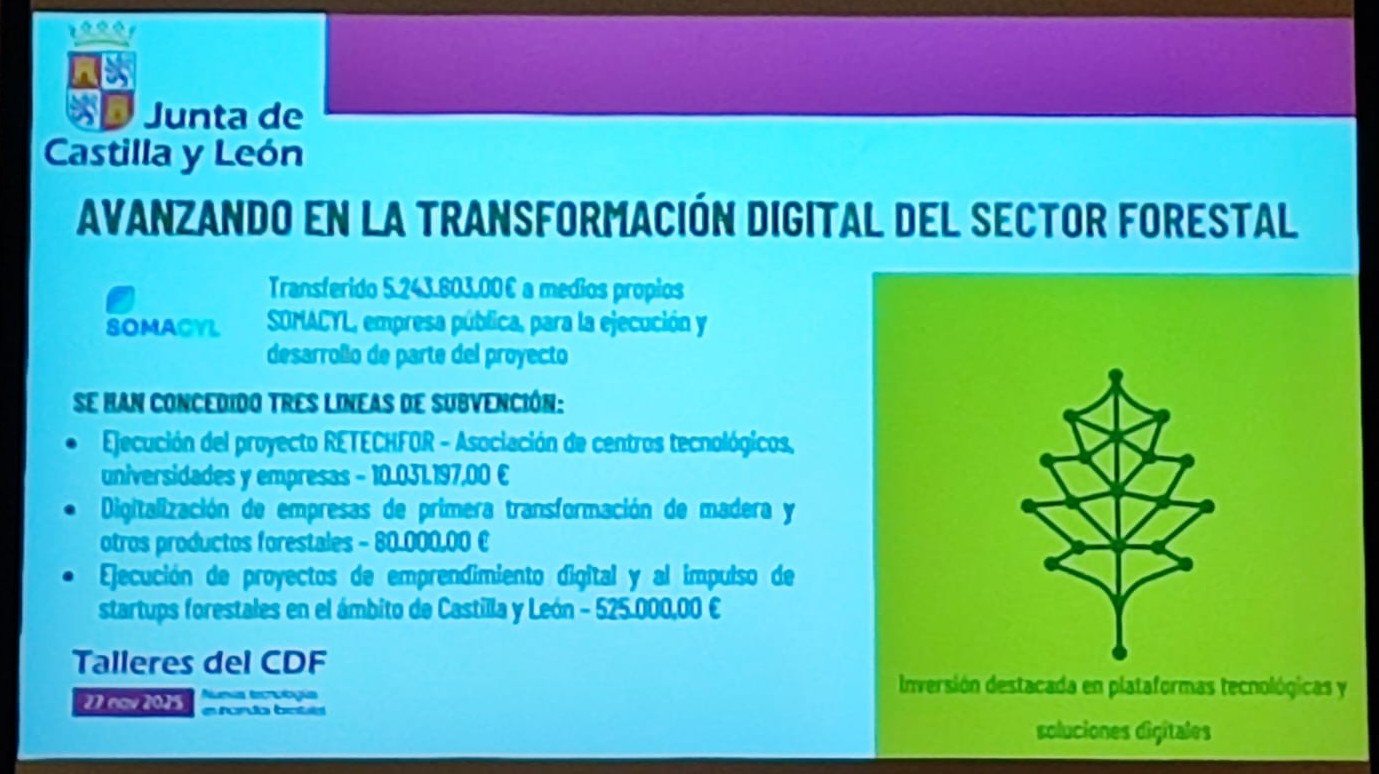
The project RetechFOR played a prominent role in showcasing advances in the digitization of forests and the development of technological capabilities applied to prevention and management of forest fires.
In tomorrow's session, Digitalization in the prevention and extinction of IIFF, Mónica García Ballesteros (Castile and León Regional Government) presented the RetechFORproject, and Guillermo Marqués (Vexiza), Javier Melús (ITCL), Fernando Castelo (University of León), and Rodrigo Gómez (Cesefor) were the technical components, focusing on:
- Integration of multiple territorial data sources: high-resolution satellite images, PNOA orthophotos, digital terrain models (DTM/DTM), real-time meteorology, and historical fire data.
- Development of risk prediction and simulation models using multivariate analysis, structural hazard indices, and dynamic scenarios based on meteorological variables.
- Generation of up-to-date fuel mapping , aimed at modeling fire behavior and preventive planning.
- Implementation of digital tools for consultation, analysis, and operational decision-making by forestry technicians and emergency services.
These developments provide a unified forest data infrastructure and geoprocessing-based services in near real time.
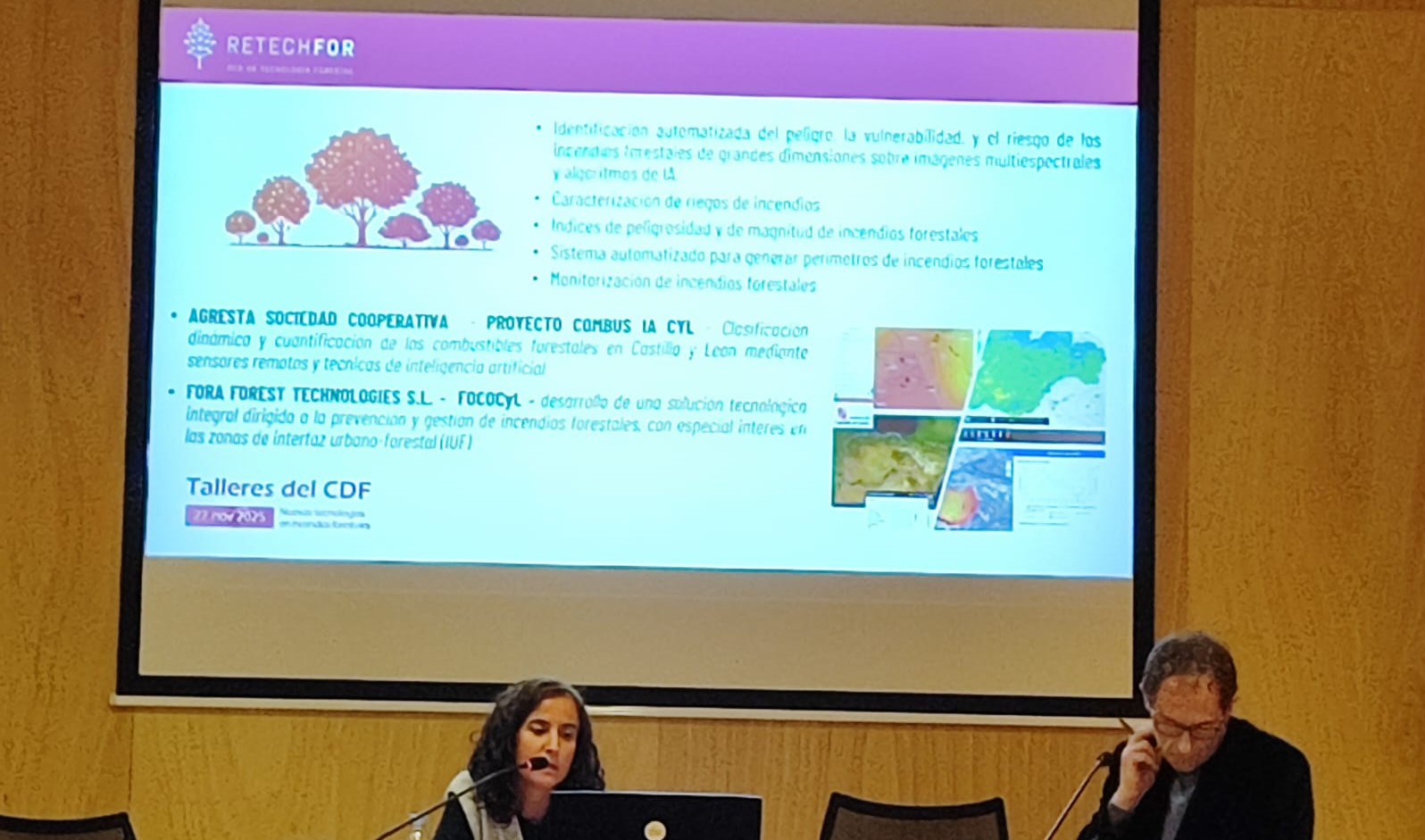
In the afternoon session, Artificial Intelligence in the prevention and extinction of IIFF, with presentations by José Manuel Fernández Guisuraga (University of León), Iñigo Lizarralde (föra forest technologies), José Andrés Somalo García (Agresta Soc. Coop), delved into methodologies that RetechFOR is integrating into its workflows:
- LIDAR processing for 3D fuel characterization, with automatic extraction of metrics for vertical structure, vegetation density, and continuity.
- AI-based models for fuel classification, detection of discontinuities, urban-forest interface, and prioritization of areas for preventive action.
- Machine learning algorithms designed for:
- spatial risk estimation at different scales,
- early identification of potentially critical situations,
- and the optimization of operational resources in defense plans.
The combination of LIDAR, multispectral remote sensing, and AI techniques facilitates the construction of high-resolution geospatial products geared toward both annual planning and immediate support in emergency situations.
The Regional Government of Castile and León presented the RetechFOR Project
Vexiza showcased the fire prevention and extinguishing solutions that form part of the RetechFOR Project.
ITCL presented the MR-ForestWatch subproject